HOME
REGIONS OF ITALY
PLACES IN ITALY
PLAN YOUR TRIP
Italy in Photos
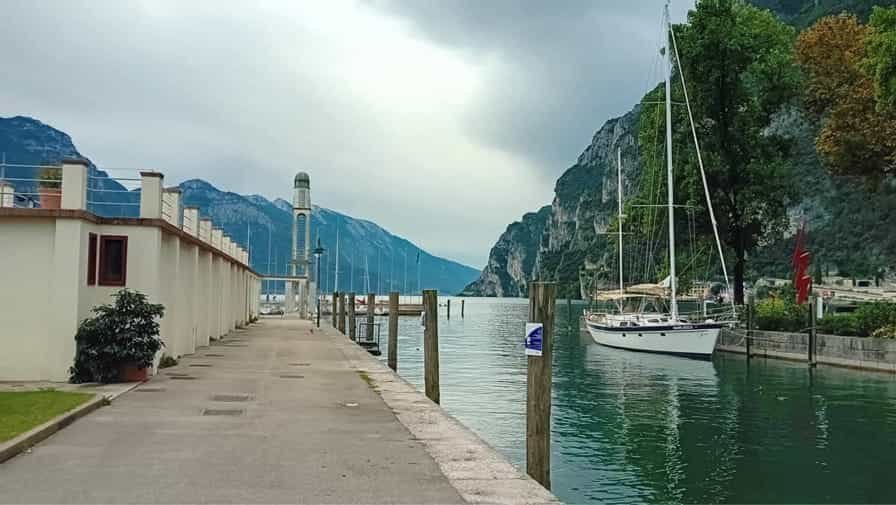
Viale Pilati, 38066 Riva del Garda TN, Italy (September 2024)
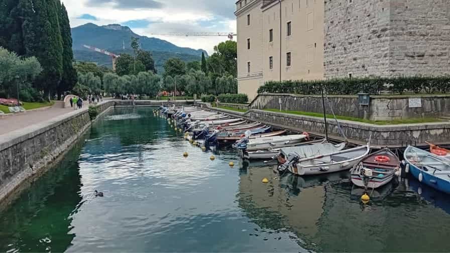
Riva del Garda
Riva del Garda is a picturesque town located at the northern tip of Lake Garda, Italy’s largest lake. Set against a backdrop of dramatic mountains and rolling hills, it is a destination where natural beauty, history, and outdoor activity come together to create a unique and inviting atmosphere. The town’s location, at the intersection of lake and mountain, makes it an ideal spot for travellers seeking both relaxation and adventure in a single setting. Its combination of Mediterranean charm and alpine character gives Riva del Garda a distinctive appeal that sets it apart from other Italian lake towns.
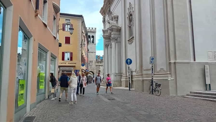
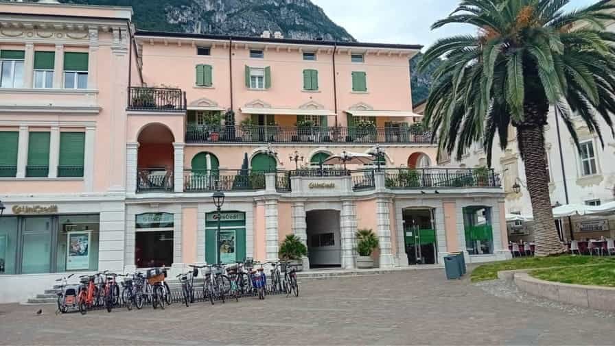
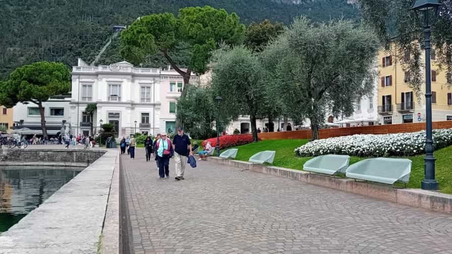
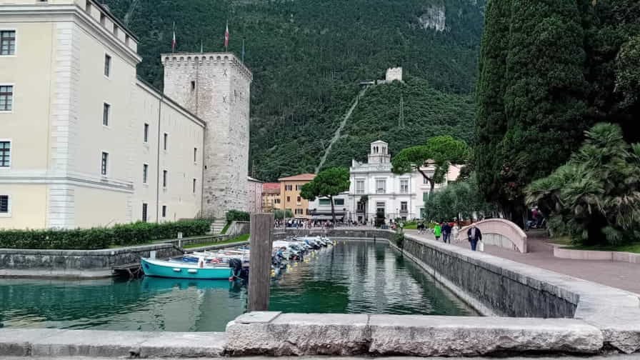
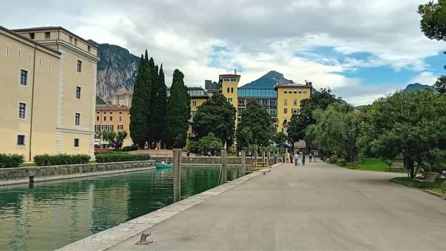
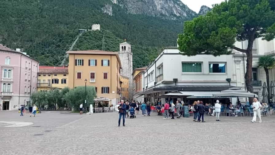
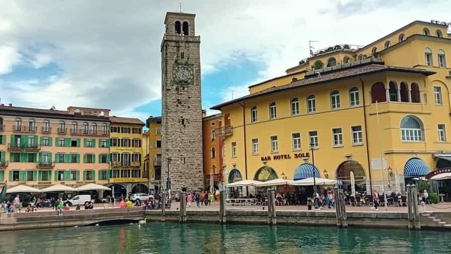
The town’s historic centre is compact and welcoming, characterized by narrow cobblestone streets, elegant squares, and a mix of architectural styles that reflect centuries of cultural exchange. Piazza III Novembre serves as the heart of the city, a vibrant space lined with cafes, restaurants, and historic buildings. Here, visitors can observe daily life unfold, watch locals meet for coffee, or simply enjoy the view of the lake stretching toward the horizon. The square is framed by landmarks such as the Torre Apponale, a medieval clock tower that offers panoramic views of the town and surrounding mountains.
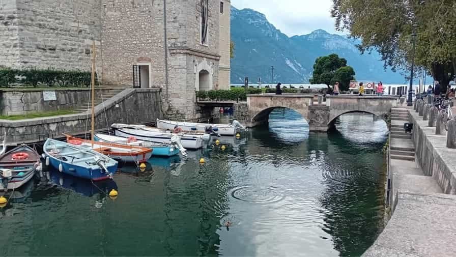
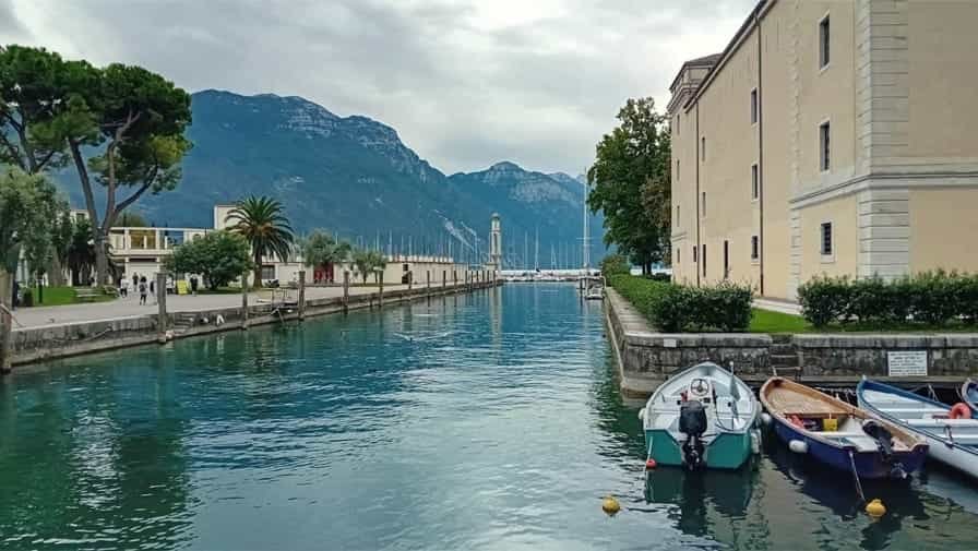
Riva del Garda’s history is both rich and varied. Originally settled by the Romans, the town later became an important centre under Venetian and Austrian influence, leaving traces in its architecture and urban layout. Fortifications, historic palaces, and churches punctuate the town, reminding visitors of its strategic significance over the centuries. The Rocca, a fortress dating back to the twelfth century and now housing a museum, is one of the most prominent examples of Riva del Garda’s historical heritage. From its walls, visitors can gain a sense of the town’s past while enjoying stunning vistas of the lake.
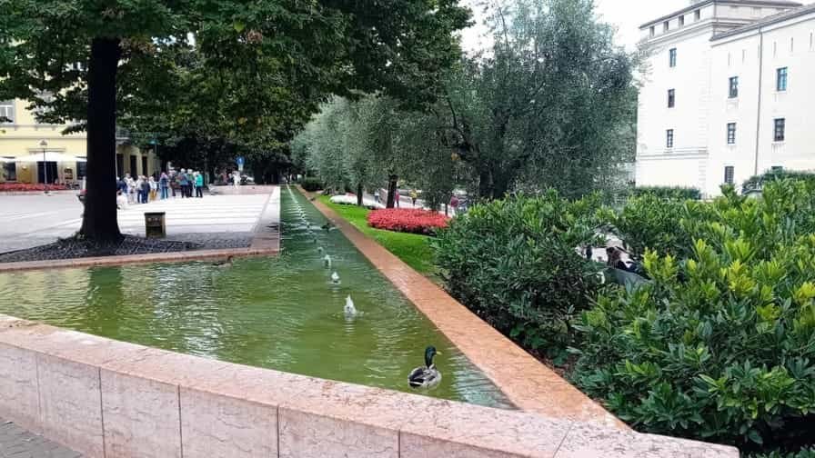
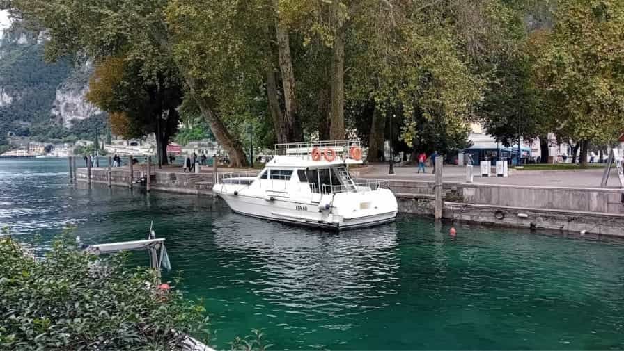
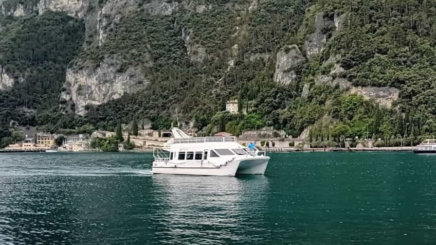
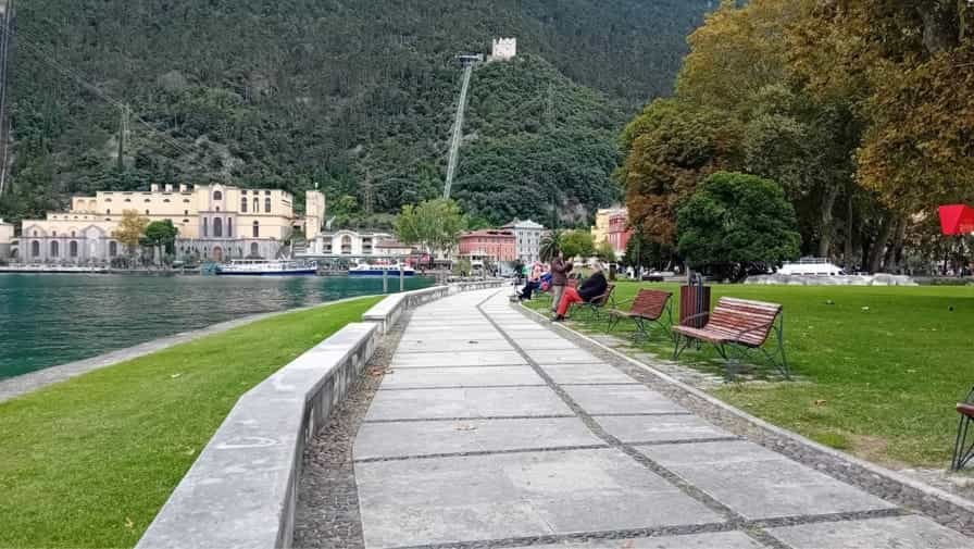
The natural environment is central to Riva del Garda’s identity. The town sits at the northern end of Lake Garda, where the water is clear and calm, making it ideal for swimming, sailing, windsurfing, and other water activities. The surrounding mountains provide opportunities for hiking, climbing, and mountain biking, with trails ranging from gentle lakeside walks to challenging alpine routes. The combination of lake and mountain landscapes creates a remarkable variety of scenery, from serene waters edged by palm trees to rugged cliffs and forested slopes.
Riva del Garda has long been a destination for those seeking active holidays. Its climate, which blends Mediterranean warmth with the freshness of the mountains, allows for outdoor activities throughout much of the year. The lake is particularly known for sailing and windsurfing, with consistent winds making it a hub for enthusiasts from across Europe. Cycling paths and walking trails along the lake and into the surrounding hills offer breath-taking views and a chance to connect with nature, while more adventurous routes lead into the Dolomites and other nearby ranges.
Culture and local life are also important elements of Riva del Garda’s appeal. The town hosts festivals, markets, and exhibitions throughout the year, celebrating local traditions, art, and cuisine. Gastronomy in the region reflects the diversity of its setting, combining freshwater fish from the lake with mountain herbs, olive oil, and wines from the surrounding vineyards. Dining in Riva del Garda often takes place in open-air terraces where meals are accompanied by spectacular views of the lake, enhancing the sensory experience.
Despite its popularity as a tourist destination, Riva del Garda retains an authentic, welcoming character. The town is lively but not overwhelming, offering a sense of balance between leisure and activity. Its combination of history, natural beauty, and modern amenities allows visitors to engage with both the past and the present, making it suitable for families, couples, and adventurers alike.
Riva del Garda is more than just a scenic destination; it is a place where lake and mountain, history and activity, relaxation and adventure coexist in harmony. Whether exploring the medieval streets, sailing across the clear waters, or hiking along mountain trails, visitors are constantly reminded of the town’s unique setting and enduring charm. Its beauty, vitality, and diversity leave a lasting impression, establishing Riva del Garda as one of Italy’s most captivating lakeside towns.
Worth a Visit
")
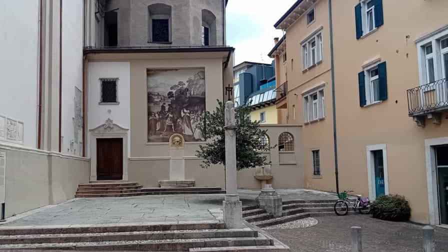
The Convento Figlie del Sacro Cuore di Gesù in Riva del Garda, Trentino, is a place of serenity and spiritual reflection set against the stunning backdrop of Lake Garda and the surrounding mountains. Founded by the Sisters of the Sacred Heart of Jesus, the convent has long been a center of religious life, education, and service within the local community. Its architecture blends simplicity with grace, reflecting the order’s values of humility and devotion. Visitors are drawn not only to its peaceful atmosphere but also to the sense of continuity it provides in a town rich with history and culture. The convent offers a space for prayer, meditation, and encounters with the contemplative traditions of Catholic spirituality. Nestled within Riva del Garda’s charming streets, the Convento Figlie del Sacro Cuore di Gesù stands as a quiet testament to faith, hospitality, and the enduring presence of religious life in northern Italy.
")
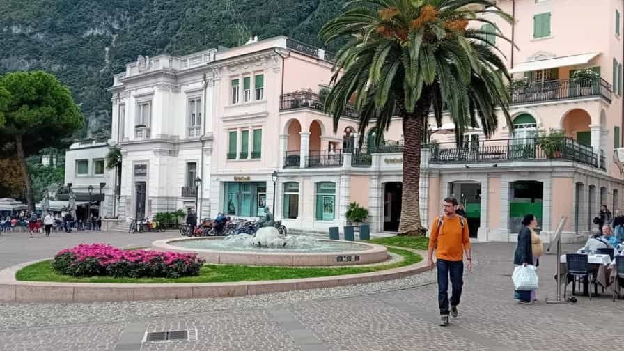
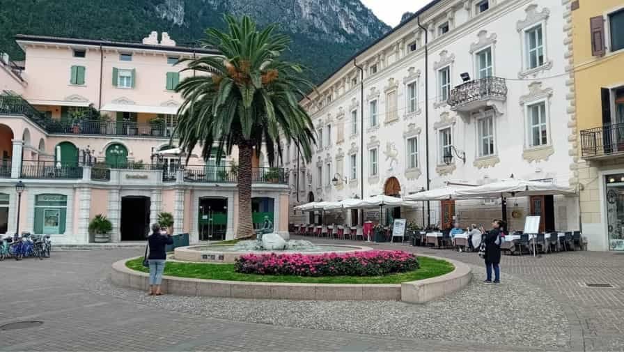
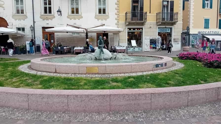
Piazza Cavour is one of the central squares in Riva del Garda, a lively lakeside town in Trentino. Steeped in history and surrounded by elegant buildings, the square has long served as a focal point for local life, blending tradition with modern vibrancy. Its cobbled surface and charming layout invite visitors to pause and enjoy the relaxed atmosphere, whether sitting at a café terrace, strolling through shops, or simply admiring the architectural details. Piazza Cavour often hosts community gatherings, markets, and cultural events, reflecting the town’s rich heritage and welcoming spirit. Just a short walk from the lakefront, the square connects seamlessly with Riva del Garda’s historic streets, making it a natural meeting point for both residents and travelers. With its blend of history, culture, and everyday charm, Piazza Cavour captures the essence of Italian piazza life and remains a beloved landmark in the heart of the town.
")
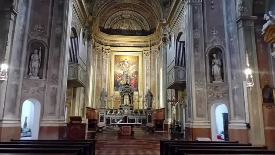
The Parrocchia di Santa Maria Assunta is the main parish church of Riva del Garda, located in the historic heart of this charming lakeside town in Trentino. Built in the 18th century on the site of earlier religious structures, the church stands as a fine example of Baroque architecture, with its elegant façade and richly decorated interior. Inside, visitors are greeted by an atmosphere of solemn beauty, highlighted by intricate stuccoes, marble altars, and remarkable artworks, including frescoes and paintings that reflect centuries of devotion. The church is dedicated to the Assumption of Mary, and its religious celebrations remain an important part of the community’s spiritual and cultural life. Situated just steps from the lively piazzas and lakefront, the Parrocchia di Santa Maria Assunta offers a place of peace and reflection, inviting travelers to explore both its artistic treasures and its enduring role in the life of Riva del Garda.

Piazza del Brolio is a small yet atmospheric square in the historic center of Riva del Garda, a town nestled on the northern shores of Lake Garda in Trentino. Surrounded by narrow medieval streets and charming pastel-colored buildings, the piazza reflects the intimate character of the old town. Its name, “Brolio,” refers to enclosed gardens or orchards once common in the area, hinting at the square’s historical roots. Today, Piazza del Brolio serves as a quiet retreat from the busier lakefront and main piazzas, offering a more authentic glimpse into local daily life. Small shops, traditional eateries, and the gentle rhythm of residents passing through contribute to its welcoming charm. With its blend of history, architecture, and local atmosphere, Piazza del Brolio is a delightful corner to discover while wandering through Riva del Garda, connecting visitors to the town’s past and its enduring sense of community.
Photo Gallery of Walk – Viale Trento to Piazza Catena
Approximately 1.81 km – 1.12 miles
Description of Walk 1
This walk explores the beautiful lakeside town of Riva del Garda, located at the northern end of Lake Garda in the Trentino region of northern Italy. Surrounded by dramatic mountains and crystal-clear waters, Riva del Garda is known for its blend of alpine and Mediterranean influences, historic architecture, and vibrant waterfront. The town has a long history dating back to Roman times and remains one of the most popular destinations on Lake Garda. The route begins on Viale Trento and follows Viale dei Tigli towards Largo Guglielmo Marconi, passing through attractive residential and green areas. Continuing along Viale Canella Giuseppe and Viale Roma, the walk moves into the heart of the town, where elegant buildings, cafés, and shops reflect Riva’s lively atmosphere. A detour along Viale Madruzzo and Via Francesca Alberti-Lutti offers further views of the urban landscape before returning to Viale Roma. The route continues along Viale Dante Alighieri, Via Giuseppe Mazzini, and Via Santa Maria, leading towards the historic centre. Piazza del Brolio, Piazza Cesare Battisti, and Piazza Garibaldi showcase the town’s rich heritage and traditional character. The final section follows Lungolago Marinai d’Italia, a scenic lakeside promenade with stunning views across Lake Garda and the surrounding mountains, before concluding at Piazza Catena, one of Riva del Garda’s most picturesque waterfront squares.
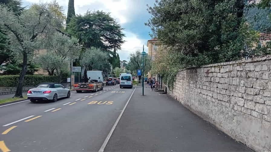
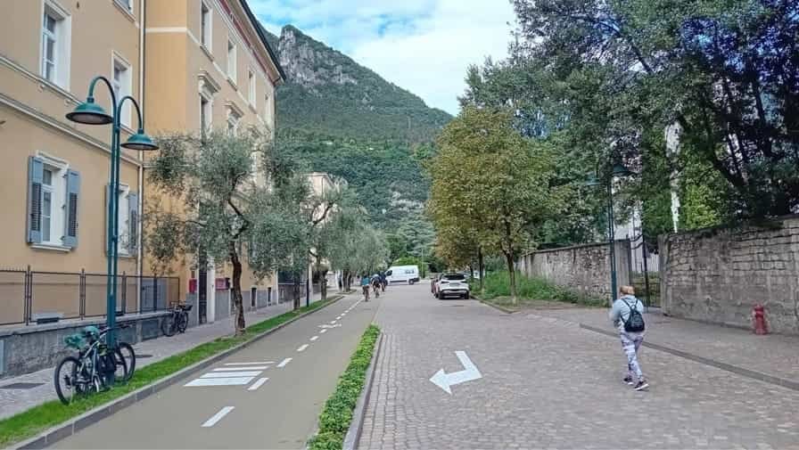
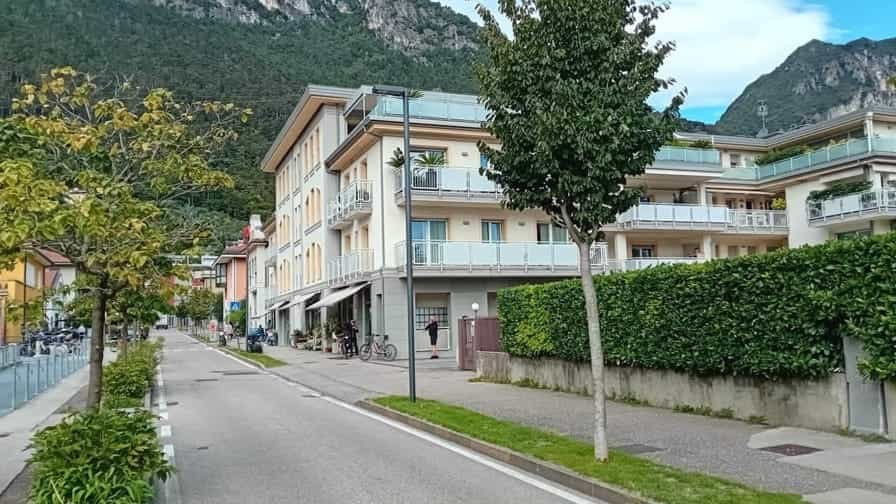
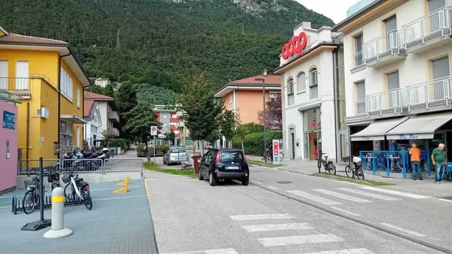
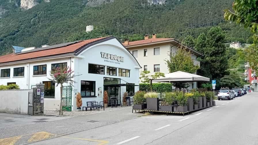

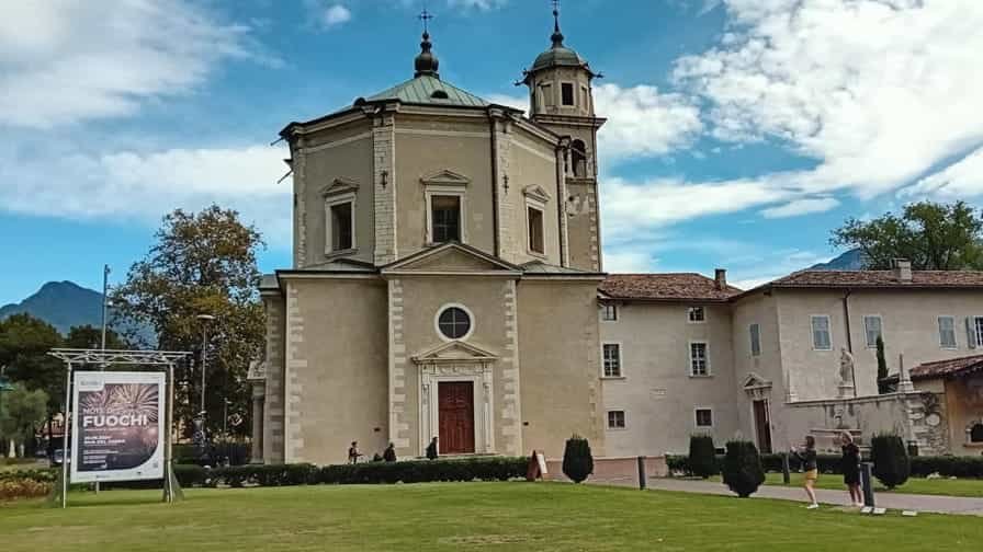
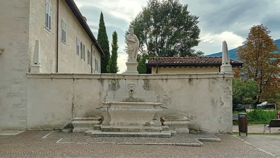
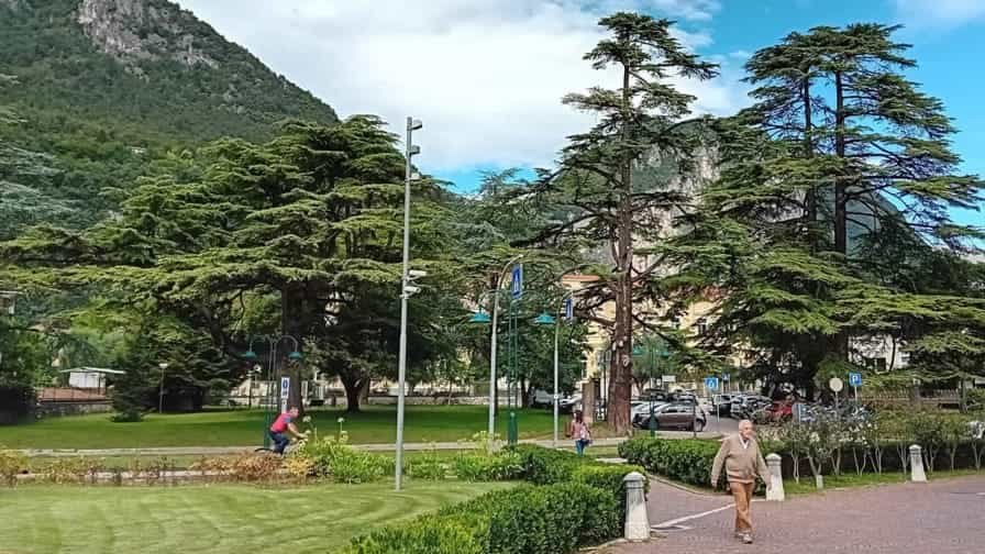
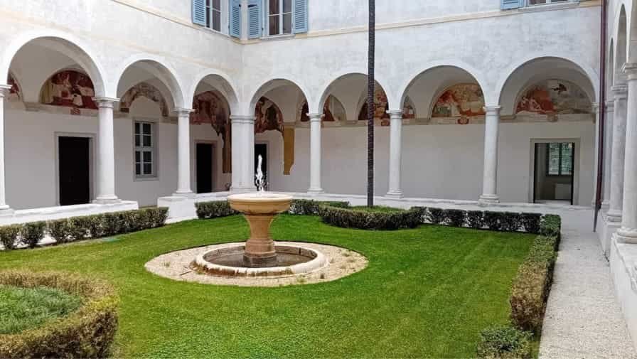

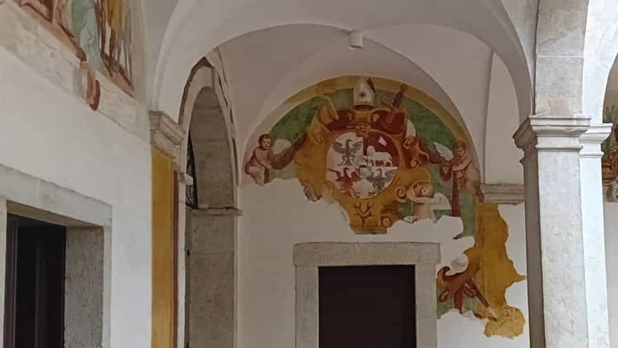
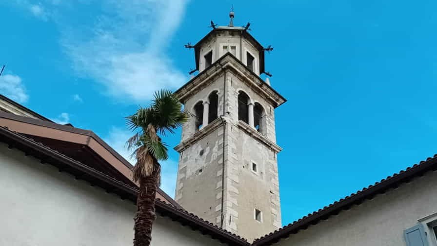
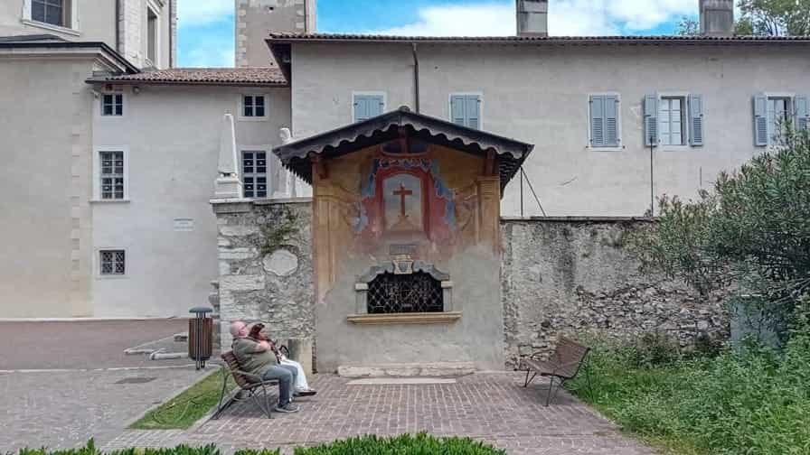
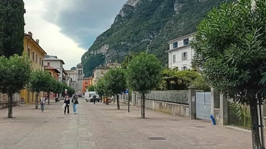
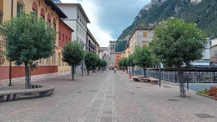
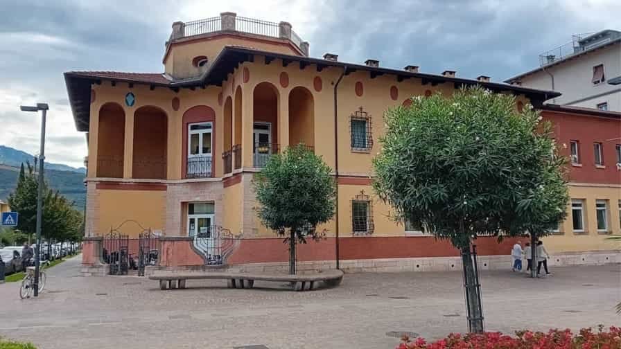
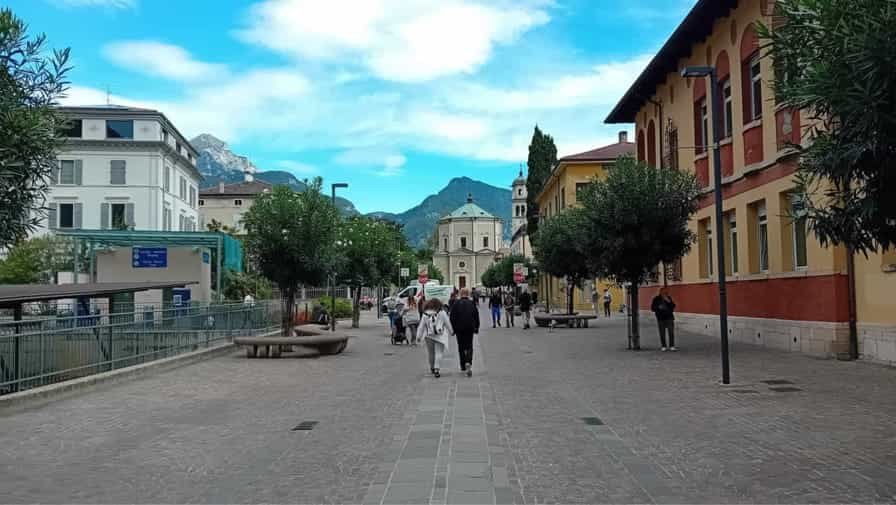
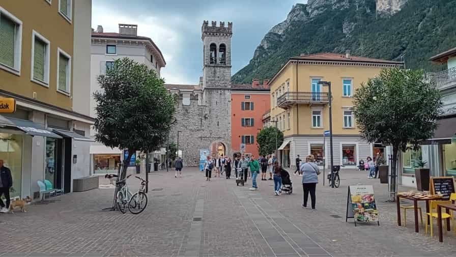
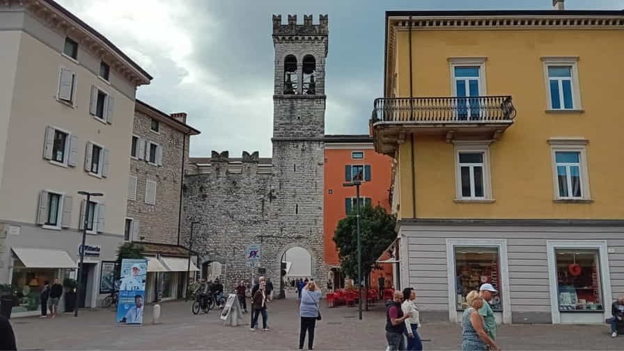
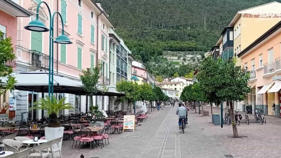
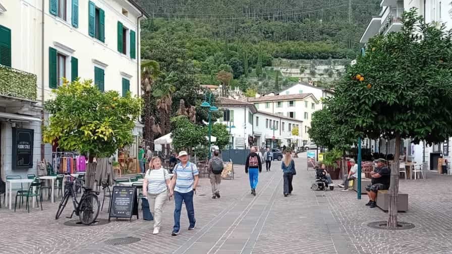
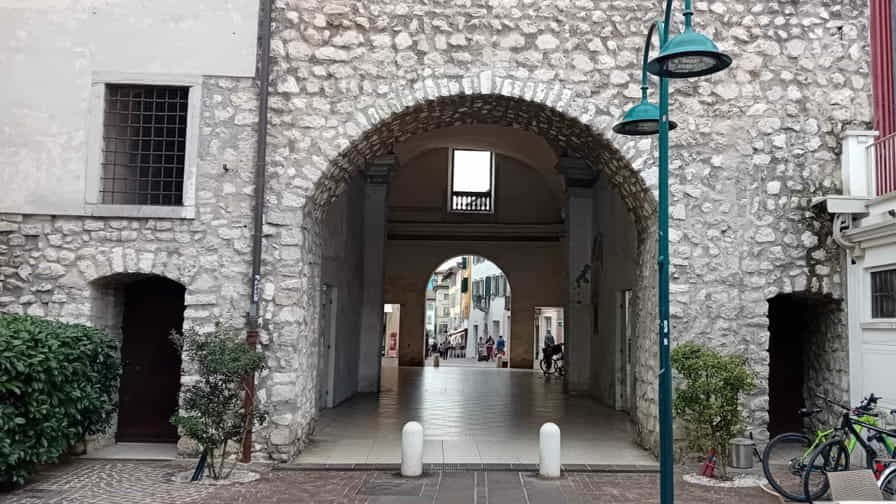

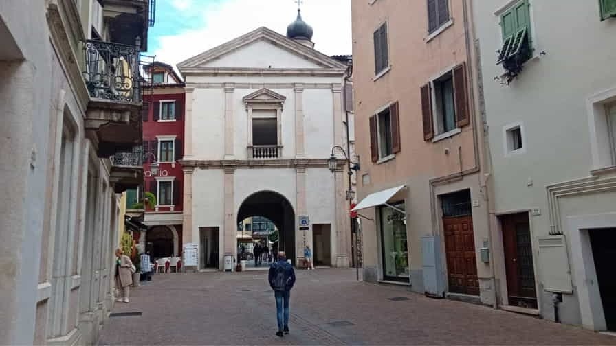
Photo Gallery of Walk 2 – Piazza Cavour to Piazza Cesare Battisti
Approximately 0.00 km – 0.00 miles
Description of Walk 2
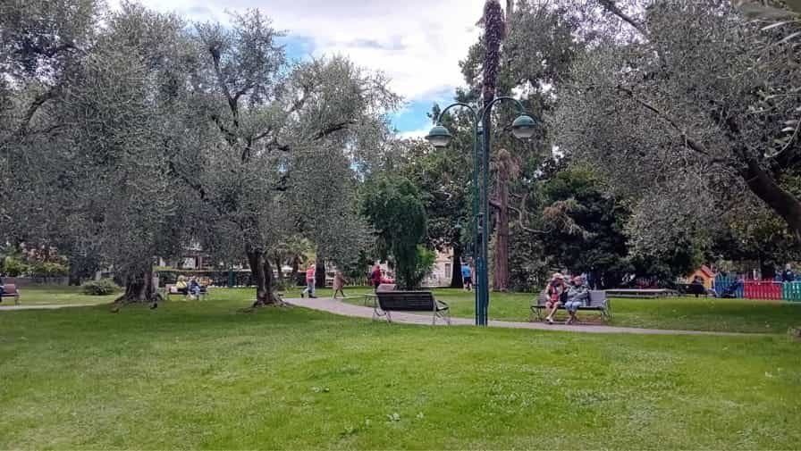
This walk explores the historic centre of Riva del Garda, a charming town located on the northern shore of Lake Garda in the Trentino region. Surrounded by steep mountains and sparkling lake waters, Riva del Garda is renowned for its scenic beauty, historic architecture, and relaxed atmosphere. The town’s rich history reflects centuries of Venetian, Austrian, and Italian influence, which can be seen throughout its streets and public squares. The route begins in Piazza Cavour, one of the town’s attractive central squares, and visits the Parrocchia di Santa Maria Assunta, an important church that reflects Riva del Garda’s religious and architectural heritage. From here, the walk follows Via Giuseppe Mazzini to Piazza del Brolio and Piazza Garibaldi, passing through lively areas filled with cafés, shops, and historic buildings. Continuing along Viale Liberazione, the route reaches Via Giardini di Porta Orientale and enters Parco della Rocca, a pleasant green space surrounding the historic Rocca fortress. This area offers a peaceful contrast to the bustling town centre and provides attractive views of the surrounding landscape. After returning through Via Giardini di Porta Orientale and Viale Liberazione, the walk passes once more through Piazza Garibaldi before continuing along Via Antonio Gazzoletti. The final section leads to Piazza Catena on the waterfront and concludes in Piazza Cesare Battisti, offering beautiful views of Lake Garda and the surrounding mountains.


COPYRIGHT © 2018-2026 ITALY IN PHOTOS - ALL RIGHTS RESERVED